Shaded Relief Maps
These colorful maps provide educators with a graphic teaching aid for geography and related subjects. Elevation is represented by a variable color bar graph. Averaging 36" by 44 ", they are constructed of heavy paper covered by a laminated finish that can be used with water based pens.
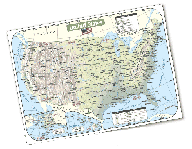
020543 DS U.S. Shaded Relief Map
020544 DS World Shaded Relief Map
Shaded Relief Maps Also Available:
020545 DS Connecticut Map
020546 DS Delaware Map
020547 DS Maine Map
020548 DS Maryland Map
020549 DS Massachusetts Map
020550 DS New England Map
020551 DS New Hampshire Map
020552 DS New Jersey Map
020553 DS New York Map
020554 DS Ohio Map
020555 DS Pennsylvania Map
020556 DS Rhode Island Map
020557 DS Vermont Map 33.95